Free and Open Source GIS
Our mission: to help you connect with the power of open geospatial, and enjoy
the freedom to engage with technology on your own terms.
The advantages of open source GIS

My profound gratitude for the professional work Mammoth Geospatial has done - your patience, understanding and immersed contribution in working with our DLPP representatives in this project engagement. It's the true spirit of mutual agreement at work and a clear indication of a well worthy and valued engagement.
Linus Billy, Director, National Mapping Bureau, Dept of Lands and Physical Planning, PNG
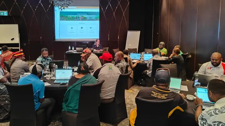
I just wanted to reach out and thank you for the wonderful 2 days of courses you ran for our crew. I have heard nothing but excitement and praise from all of the team who attended. They have learnt so much and we're now looking forward to implementing this new knowledge.
Stuart Rapley, General Manager, Archae Aus, Western Australia
I wanted to relay that your presentation, flow, and language were a delight... getting insight from you into this well developed community gem was really beneficial.
Krista Sutton, Senior Mine Geologist, Evolution Mining - Northparkes
Thoroughly enjoyed the training session. Pertinent content, good pace, with a healthy dose of QGIS passion. Thank you again on behalf of the API team.
Audrey Murphy, Senior Resource Geologist, API Management, Western Australia
Mammoth was engaged to provide QGIS training both on site and in Perth, specifically catering to the requirements of exploration geologists.
The training was well paced, detailed, and catered well to our requirements. The team's GIS skillset has improved dramatically since the training.
Stefan Woodtli, Exploration Superintendent, Liatam Mining, Western Australia
The team at Mammoth Geospatial has continuously checked the boxes and more. They've done a wonderful job in turning our vision into reality.
The Biodiversity and Climate Geoportal allows a wide range of users, whether specialized or non-specialized, to connect, share, and visualize spatial data for monitoring and protecting Papua New Guinea's immense and rich biodiversity.
Joshua Turia, GIS and Information Assistant, UNDP Papua New Guinea
When we wanted to make OpenStreetMap data available for Pacific users, John Bryant from Mammoth Geospatial was the perfect match. Not only did he have the expertise to deliver in a very short amount of time, John sets the bar high when it comes to quality and detail. You really feel his passion for the open geospatial community. But most of all, it was a fun, learning, highly collaborative experience!
Julie Callebaut, Environmental Monitoring and Reporting GIS Specialist, SPREP, Samoa
The team at Mammoth were able to turn a complex and challenging problem in sustainable land use planning into an accessible and user-friendly, online system.
We were happy with both the system that they built and the process of working with the team - from design to completion.
John Watts, Director of Strategic Initiatives, Kaleka, Indonesia
The development team at Mammoth was able to work with us to create a truly innovative application with beautiful visuals and a simple and intuitive design.
Nate Valentin, VP Product Development, SEER Analytics, USA
Mammoth went over and beyond our expectations in terms of physically getting onto vineyards to understand the practical challenges first hand, and guiding the Collabriculture process to bring a more open approach to mapping vineyards.
Oli Madgett, Principal Investigator, Collabriculture, Australia
Featured clients
Partners & collaborators