QGIS Training
Tailored QGIS training for your team, available both online and in-person.
QGIS is powerful GIS software for viewing, analysing, and visualising geospatial data. Even though it's user-friendly and intuitive, we often hear from organisations who need a jump start.
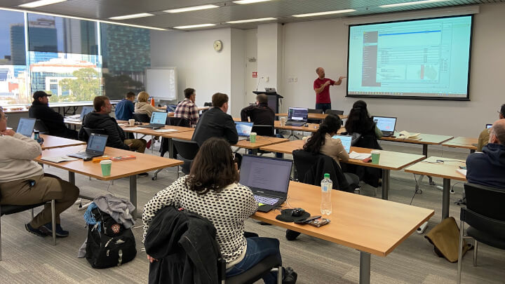
We frequently run in-house QGIS training sessions with teams to lift their skills, fill gaps in their knowledge, and help develop best practices for an organisation-wide GIS.
Customised QGIS Training
We've delivered specialised workshops for diverse sectors, including mining & exploration, heritage, agriculture, and Aboriginal Rangers.
Whether you're seeking a concise session spanning a few hours or a comprehensive multi-day course, we can adapt to your schedule.
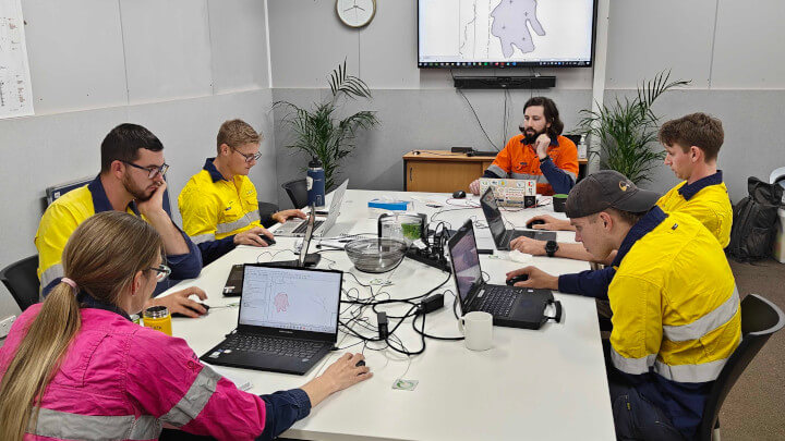
We frequently run in-house QGIS training sessions in company offices, at conferences, and even at remote mining & exploration sites, across Australia and the Asia Pacific region.
- the key features of QGIS, including industry-specific workflows and tools
- importing, exporting, editing and analysing vector and raster data
- creating, editing, and managing your own data
- making professional-looking maps
- sources of free data, satellite imagery, and templates

I just wanted to reach out and thank you for the wonderful 2 days of courses you ran for our crew. I have heard nothing but excitement and praise from all of the team who attended. They have learnt so much and we're now looking forward to implementing this new knowledge.
Stuart Rapley, General Manager, Archae Aus, Western Australia
I wanted to relay that your presentation, flow, and language were a delight... getting insight from you into this well developed community gem was really beneficial.
Krista Sutton, Senior Mine Geologist, Evolution Mining - Northparkes
Thoroughly enjoyed the training session. Pertinent content, good pace, with a healthy dose of QGIS passion. Thank you again on behalf of the API team.
Audrey Murphy, Senior Resource Geologist, API Management, Western Australia
Mammoth was engaged to provide QGIS training both on site and in Perth, specifically catering to the requirements of exploration geologists.
The training was well paced, detailed, and catered well to our requirements. The team's GIS skillset has improved dramatically since the training.
Stefan Woodtli, Exploration Superintendent, Liatam Mining, Western Australia
Public Workshop Series
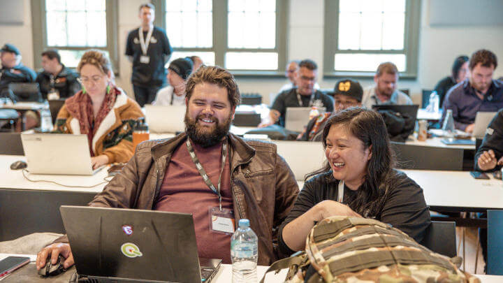
Want training but can't justify an in-house session? We run a highly regarded public QGIS training workshop series, covering methods and workflows relevant to specific professions.
Some of our training clients