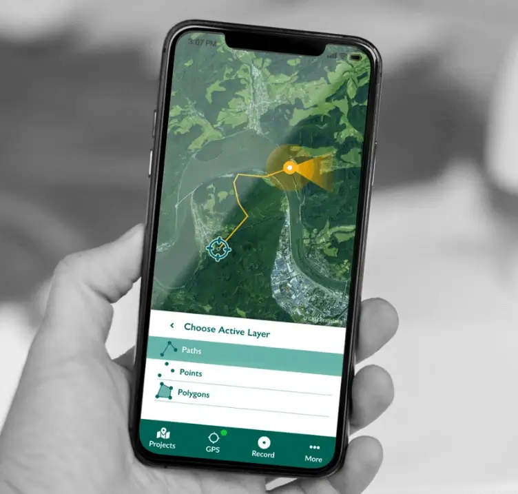
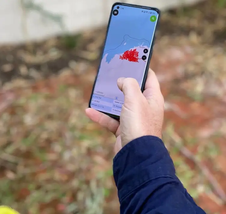
Field Data Capture
Capture and synchronise your field data with QGIS-based apps
Field work is difficult and expensive, so it needs to be done right. A great field data capture app can improve efficiency and accuracy, and make it easier to sync data between office and field.
We use Mergin Maps and QField. Key features include:
- Integrated with QGIS: Easily sync your field data with QGIS, bridging the gap between the field and the office.
- Works Offline: Work confidently in areas with limited or no connectivity, knowing your data will synchronise once you're back online.
- Smart Data Merging: Merge data from different devices and manage versions via a web UI.
- Custom Forms: Tailor your data collection forms with custom dropdowns, default values, and validation.
- Free and Open Source: No licence fees or restrictions on use.