Our QGIS Workshops

In our highly regarded QGIS-certified workshop series, we've helped hundreds of people gain QGIS and other skills, covering methods and workflows for specific professions, including Mining & Exploration, and Heritage.

View upcoming courses below or contact us to discuss the option of in-house, customised training.

QGIS logo

Upcoming Dates

Oct
2 - 3
Perth, WA
2 day workshop
Introduction to QGIS for Mining & Exploration
Oct
14
Online
3 hour workshop
Drill Hole Data Visualisation in QGIS
Oct
21
Online
3 hour workshop
Satellite Imagery in QGIS for Mining & Exploration
Oct
28
Online
3 hour workshop
Geochemical and Geophysical Data in QGIS

Our Workshop Series

Our QGIS workshop series includes the following courses. If you don't see a suitable date or location for the course you're interested in, or the course you're looking for isn't listed, get in touch - we're always happy to explore new workshops where there is a demand. Our workshops are offered Australia-wide, with some available online.

Introduction to QGIS for Heritage

The fundamentals of QGIS for archaeologists, anthropologists, consultants, and any professional working with location information in heritage. Endorsed by AACAI (and ASWA in WA).

Introduction to QGIS for Mining & Exploration

A comprehensive introduction to QGIS for geologists, geoscientists, exploration managers, field staff, and any professional working with location information in mining & exploration. Endorsed by AIG.

Satellite Imagery in QGIS for Mining & Exploration

A deep dive into using QGIS to acquire and process Sentinel-2 and ASTER satellite imagery. Endorsed by AIG.

Geochemical and Geophysical Data in QGIS

An exploration of processing, analysing, and visualising geochemical & geophysics data in QGIS to support a geologist's workflows. Endorsed by AIG.

Drill Hole Data Visualisation in QGIS

The fundamentals of using QGIS for drill hole data visualisation, including plan and section views, assay interpretation, and 3D drill data analysis for mining and exploration. Endorsed by AIG.

Field Data Collection for QGIS with Mergin Maps

This workshop guides participants through setting up and using Mergin Maps for offline geospatial data collection with QGIS, including a field exercise and cloud-based data syncing.

Past Workshops

Date
Title
Location
17 - 18 Sep 2025
Introduction to QGIS for Heritage
Perth, WA
21 Aug 2025
Geochemical and Geophysical Data in QGIS
Online
14 Aug 2025
Satellite Imagery in QGIS for Mining & Exploration
Online
7 Aug 2025
Drill Hole Data Visualisation in QGIS
Online
24 - 25 Jun 2025
Introduction to QGIS for Heritage
Brisbane, QLD

Trainers

Trainer
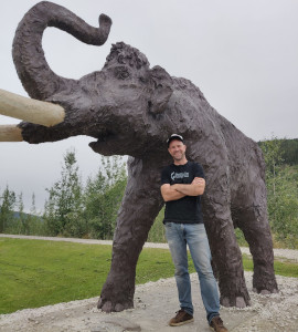
John Bryant

John is an open source GIS specialist, with tons of experience implementing QGIS, PostGIS, and other open source GIS tools in small and large organisations. He's been working with QGIS since 2007 and loves to help people learn how to use this amazing tool. John's an avid volunteer in local, regional, and global open geospatial communities, working with Geogeeks, FOSS4G Perth, OSGeo Oceania, and OSGeo.

Trainer
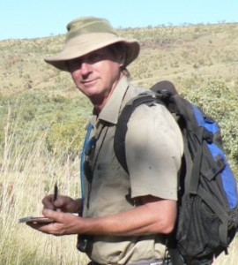
Grant Boxer

Grant is a professional geologist with over 40 years experience in mineral exploration. He is a Registered Professional in Mineral Exploration with the AIG (Australian Institute of Geoscientists), a member of the Geological Society of Australia, the Meteoritical Association, and the Geological Remote Sensing Group (UK). Grant is a passionate advocate for QGIS and has published QGIS in Mineral Exploration, a how-to manual for the mining & exploration community.