Upcoming events
No events currently scheduled.
Contact us for more information or join our mailing list to stay up to date on future events.
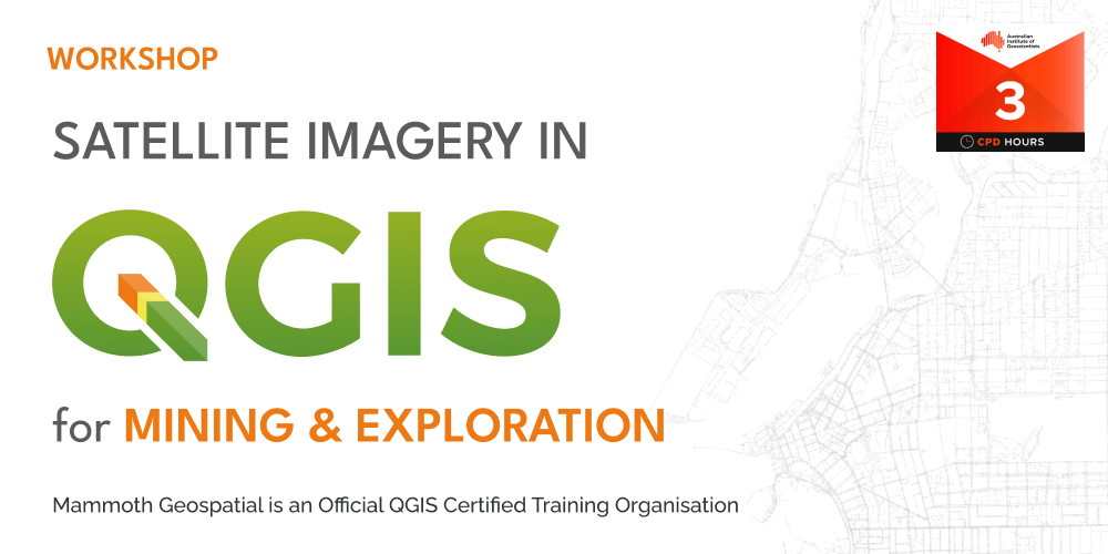
About the workshop
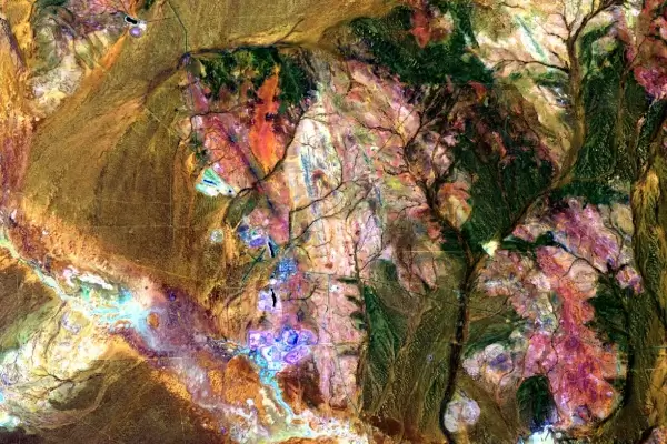
This workshop is a deep dive into using QGIS to acquire and process Sentinel-2 and ASTER satellite imagery for mineral exploration and other earth observation activities.
Participants will be guided through how to source, download, and process freely available satellite imagery and produce RGB images of various spectral bands to enhance features of interest.
What we'll cover
We'll explore using satellite data in various workflows, covering:
- finding and processing satellite imagery
- working with the Semi-Automatic Classification QGIS plugin
- frequently used band ratios
- PCA analysis for enhancing geological and other surface features
- basic mineral mapping
Who should attend
Geologists, geophysicists, earth scientists, environmental scientists, who already use QGIS and want to expand their capabilities in the fundamentals of using satellite imagery in QGIS for mining and exploration.
Certification
Mammoth Geospatial is an accredited QGIS Certifying Organisation. Workshop participants have the option of receiving an official QGIS certificate on completion, which provides a mechanism to financially support the QGIS project.
Additional Information
What to bring
- A laptop with a recent version of QGIS (>= 3.40)
- A mouse with a scroll wheel is highly recommended
We'll provide more information about QGIS versions and other requirements when you register.
Class size
Maximum 16 participants.
Cancellation Policy
You can cancel your registration up to 7 days before the workshop, subject to a 10% processing fee to cover non-refundable ticketing platform fees.
Unfortunately, we're unable to offer cancellations or refunds after that point.
AIG members
AIG members are eligible for a discounted registration and CPD points.