Upcoming events
No events currently scheduled.
Contact us for more information or join our mailing list to stay up to date on future events.
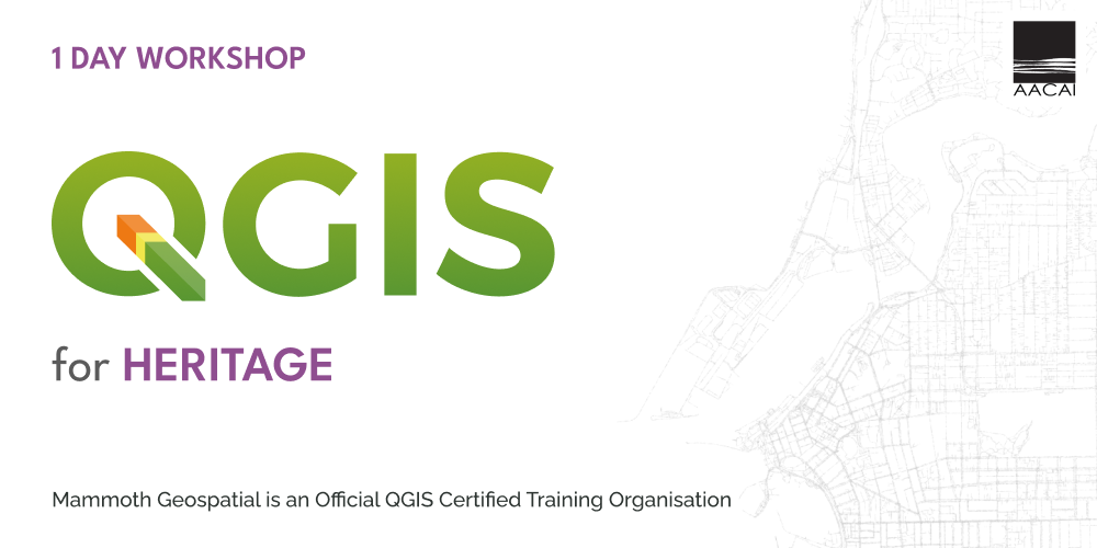
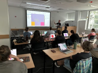
About the workshop
If you work in heritage, you work with location information on a daily basis. Every project involves maps, coordinates, and spatial data, and QGIS is one of the best tools to manage them.
In this one-day workshop for heritage professionals, we'll build on your existing QGIS skills to strengthen your confidence in working with spatial data and maps.
Using real-world heritage datasets such as Native Title, Aboriginal heritage sites, and proposed works, you'll learn practical techniques for combining, analysing, and presenting your data clearly and professionally.
What we'll cover
- managing and organising spatial data for heritage projects
- integrating field data and site recordings
- performing spatial analysis and geoprocessing tasks
- using data-driven symbology to visualise patterns and change
- efficiently producing clear, professional-quality maps and reports
Who should attend
Certification
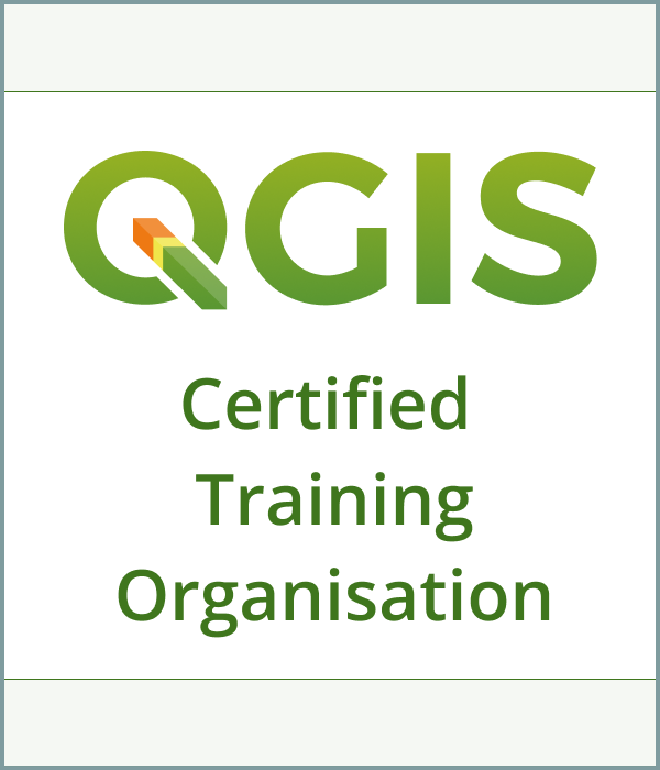
Mammoth Geospatial is an accredited QGIS Certifying Organisation. Workshop participants have the option of receiving an official QGIS certificate on completion, which provides a mechanism to financially support the QGIS project.
Additional Information
- A laptop with a recent version of QGIS
- A mouse with a scroll wheel is recommended