Upcoming events
No events currently scheduled.
Contact us for more information or join our mailing list to stay up to date on future events.
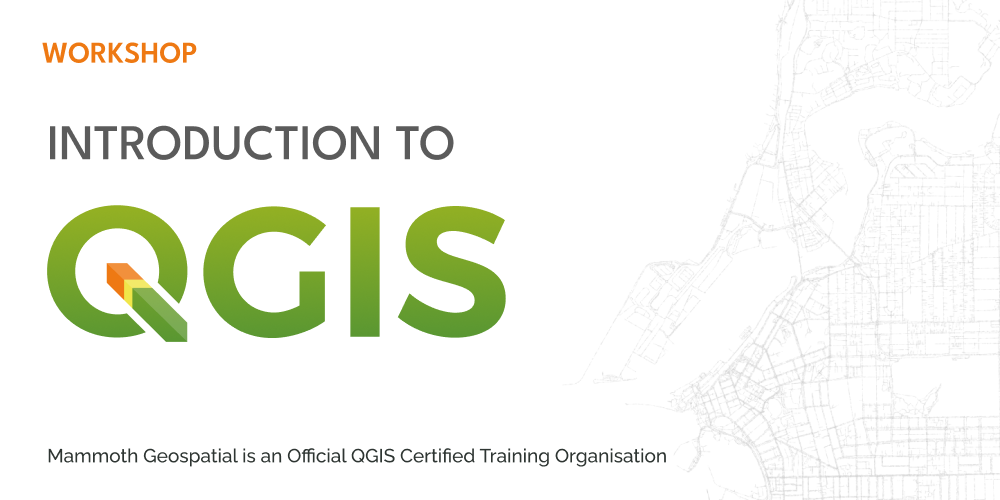
About the workshop
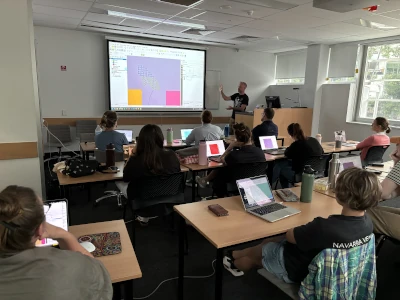
In this two-day introductory workshop, you'll become familiar with QGIS, the free and open source desktop GIS used by millions around the world.
Whether you're completely new to GIS or looking to build confidence with the basics, this course is designed to give you a clear, practical foundation that works for beginners from any discipline.
Using real-world spatial data, you'll learn how to bring different datasets together to explore, analyse, and visualise information, and how to communicate your results through clear, professional maps.
What we'll cover
- sources of free data
- geospatial data formats
- importing, exporting, and editing data
- using QGIS plugins
- working with GPS data
- data-driven symbology and analysis
- creating professional-quality maps
Who should attend
Certification
Mammoth Geospatial is an accredited QGIS Certifying Organisation. Workshop participants have the option of receiving an official QGIS certificate on completion, which provides a mechanism to financially support the QGIS project.
Additional Information
- A laptop with a recent version of QGIS (>= 3.40)
- A mouse with a scroll wheel is highly recommended