Upcoming events
No events currently scheduled.
Contact us for more information or join our mailing list to stay up to date on future events.
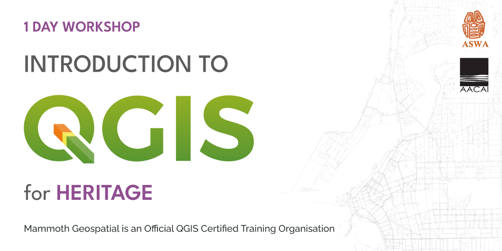
About the workshop
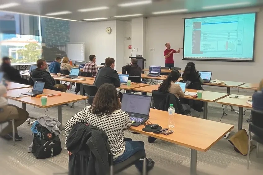
In this two day AACAI endorsed workshop for heritage professionals, you'll become familiar with QGIS, the free and open source desktop GIS used by millions.
Whether you're starting from scratch or simply want to fill gaps in your knowledge, we follow a systematic approach that benefits beginners and experienced professionals alike.
Using heritage-related data like Native Title, Aboriginal Heritage Sites, and proposed work programs, we'll explore how to bring multiple datasets together to explore, analyse, and present your data to a professional standard.
What we'll cover
- sources of free data
- geospatial data formats
- importing, exporting, and editing data
- using QGIS plugins
- working with GPS data
- data-driven symbology and analysis
- creating professional-looking maps
Who should attend
Certification
Mammoth Geospatial is an accredited QGIS Certifying Organisation. Workshop participants have the option of receiving an official QGIS certificate on completion, which provides a mechanism to financially support the QGIS project.
Additional Information
- A laptop with a recent version of QGIS
- A mouse with a scroll wheel is recommended