Upcoming events
No events currently scheduled.
Contact us for more information or join our mailing list to stay up to date on future events.
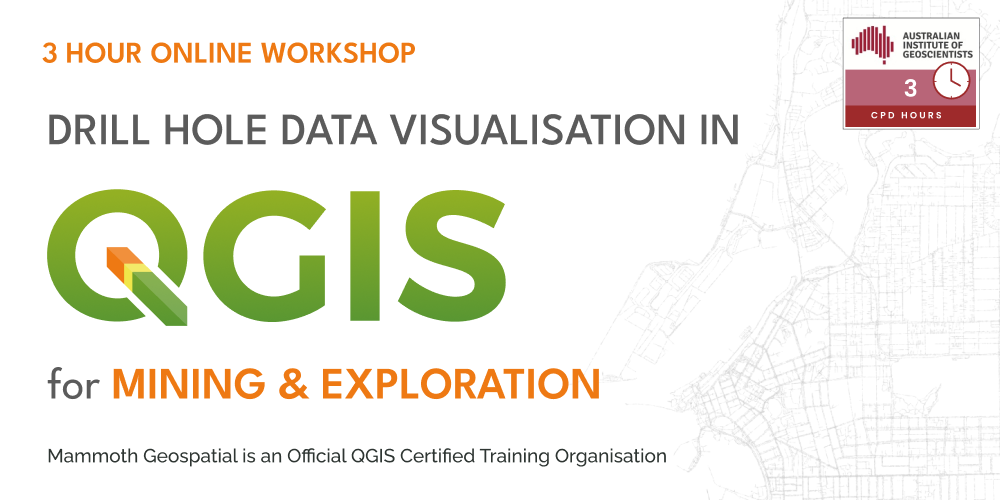
About the workshop
Ideal for geologists, exploration professionals, and GIS specialists, this course provides practical skills to enhance drill hole data interpretation and presentation in mining and exploration projects.
Participants will learn how to effectively display and analyse drill hole data using QGIS.
What we'll cover
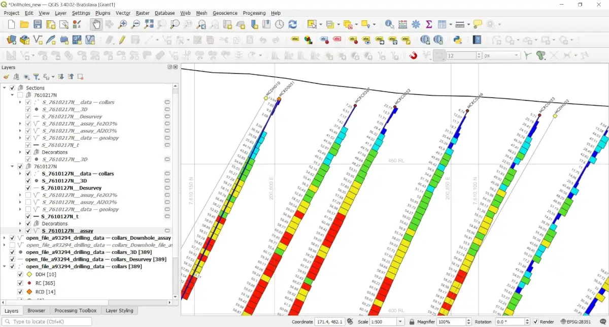
- Drill Hole Collars & Labels - Import and visualise drill hole locations with labels.
- Plan View Traces - Display drill hole traces in plan view, with geology and assay-based color traces.
- Cross Section Views - Create section views with assay bars and values for easy interpretation.
- 3D Drill Data Visualisation - Explore drill holes in a 3D environment for better spatial understanding.
- Map Layouts - Design professional-quality maps with integrated plan and section views.
Who should attend
Geologists, exploration geoscientists, GIS specialists, and mining professionals who already use QGIS and want to expand their capabilities in visualising, analysing, and presenting geological and assay information using QGIS.
Certification
Mammoth Geospatial is an accredited QGIS Certifying Organisation. Workshop participants have the option of receiving an official QGIS certificate on completion, which provides a mechanism to financially support the QGIS project.
Additional Information
What to bring
- A laptop with a recent version of QGIS (>= 3.40)
- A mouse with a scroll wheel is highly recommended
- A working microphone and camera (this is an interactive session!)
- Ideally, at least two monitors to run the Zoom meeting and QGIS
We'll provide more information about QGIS versions and other requirements when you register.
Class size
Maximum 16 participants.
Cancellation Policy
You can cancel your registration up to 7 days before the workshop, subject to a 10% processing fee to cover non-refundable ticketing platform fees.
Unfortunately, we're unable to offer cancellations or refunds after that point.