Land Use Information Management System
DLPP & UNDP Papua New Guinea
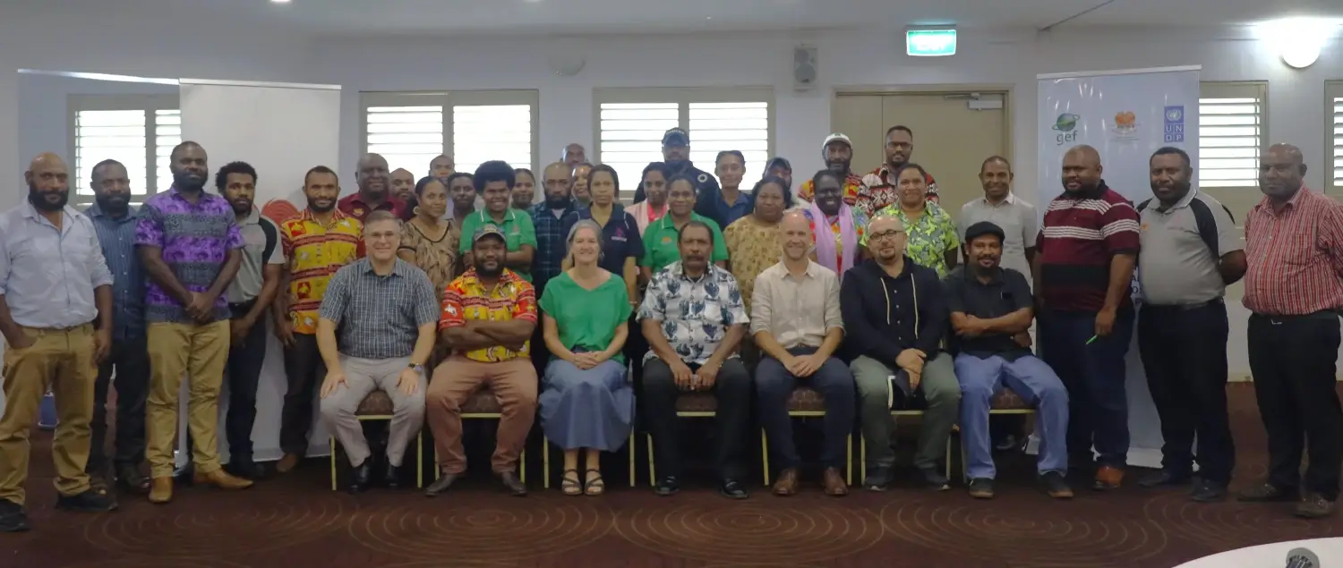
Over 2024 - 2025, we worked with the Department of Lands and Physical Planning and UNDP in Papua New Guinea to develop a National Land Use Information Management System and build geospatial capacity to support sustainable land use planning.
- GeoNode
- GeoServer
- QGIS
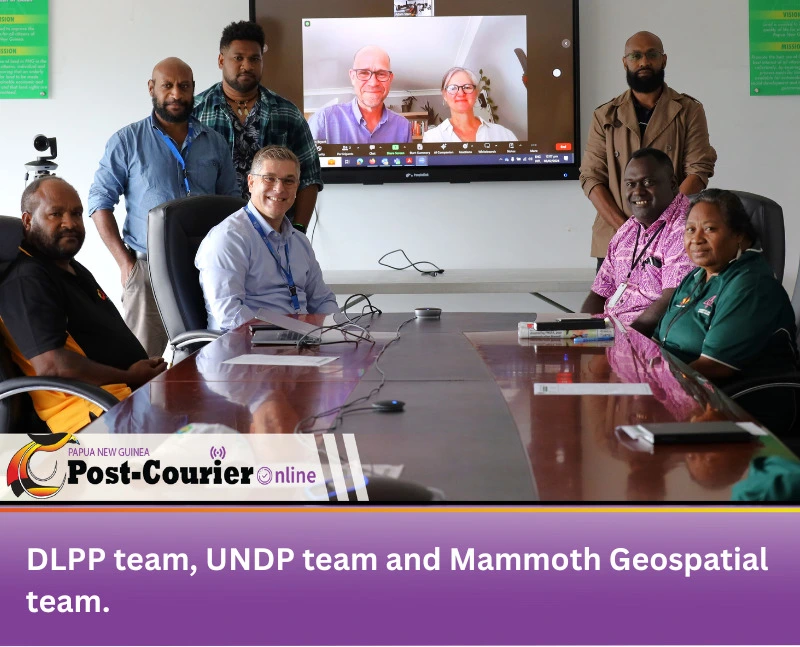
The project was always designed to combine technical delivery with capacity building, but it became clear early on that we needed to better understand and adapt to existing barriers to using the tool, such as data governance, infrastructure, and technical capacity. We adjusted our approach accordingly, working closely with partners to ensure the tool could be effectively used and sustained in practice.
The heart of this project is the National Land Use Information Management System (LUIMS), a powerful, low-cost, open-source platform tailored to support sustainable land use planning. Developed in close collaboration with the Department of Lands & Physical Planning (DLPP) and the United Nations Development Programme (UNDP), LUIMS forms part of "Component 1: Development of integrated landscape management systems" under the UNDP GEF-7 FOLUR project Establishing systems for sustainable integrated land use planning across New Britain Island in Papua New Guinea.
Built with robust tools including GeoNode, PostGIS, GeoServer, and QGIS, the system was designed to be flexible, fully owned by the agency, and to enable open data sharing across DLPP and its partners. In consultations with DLPP staff, it became clear that for this new platform to have a real impact, it would require strengthening GIS skills and building confidence among users.
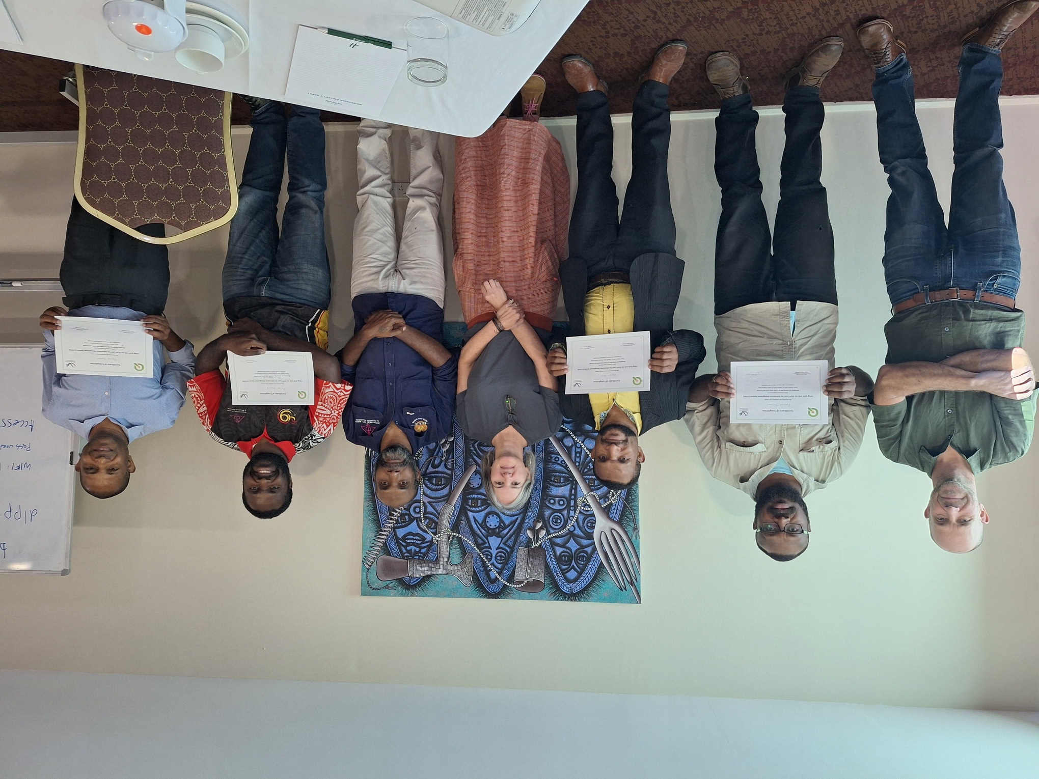
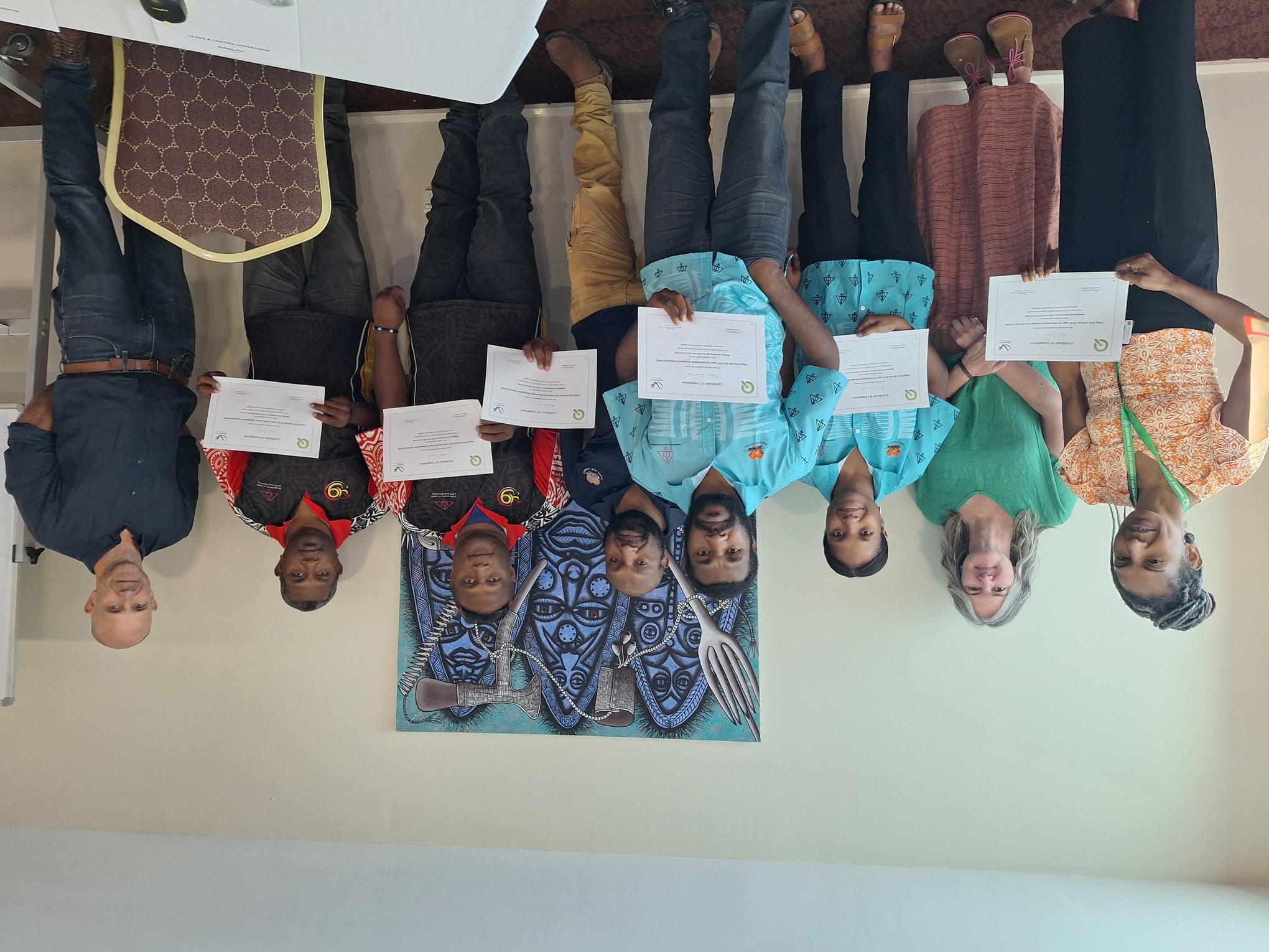
And so, we drew on our experience as training providers to launch a comprehensive and customised capacity-building program, focusing on both LUIMS and QGIS free & open source desktop GIS software. Through a “train the trainers” approach, a dedicated group of staff were equipped not only with technical skills, but with the confidence to become champions within their teams.


This was a key part of the project: building the skills and confidence of staff to not just use the system, but support and train others. The team is now in the process of taking ownership of the system, delivering further internal training sessions and populating the system with data.
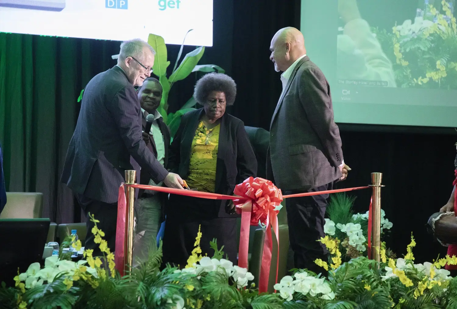
June 2025 marks the official launch of LUIMS - an important milestone not just in delivering a new digital tool, but in building long-term capacity within DLPP. It reflects a department that has taken ownership of its technology, strengthened its skills, and is now better equipped to support collaborative, data-driven land use planning.
See the LUIMS here: https://luims.dlpp.gov.pg/