Building a Forest Monitoring System for Conservation
CEPA & UNDP Papua New Guinea
Mammoth worked with the United Nations Development Programme (UNDP) and Papua New Guinea's Conservation and Environment Protection Authority (CEPA) to develop and roll out a forest monitoring system to support environmental monitoring and decision-making across the country.
- Django
- QGIS
- PostGIS
- WebODM
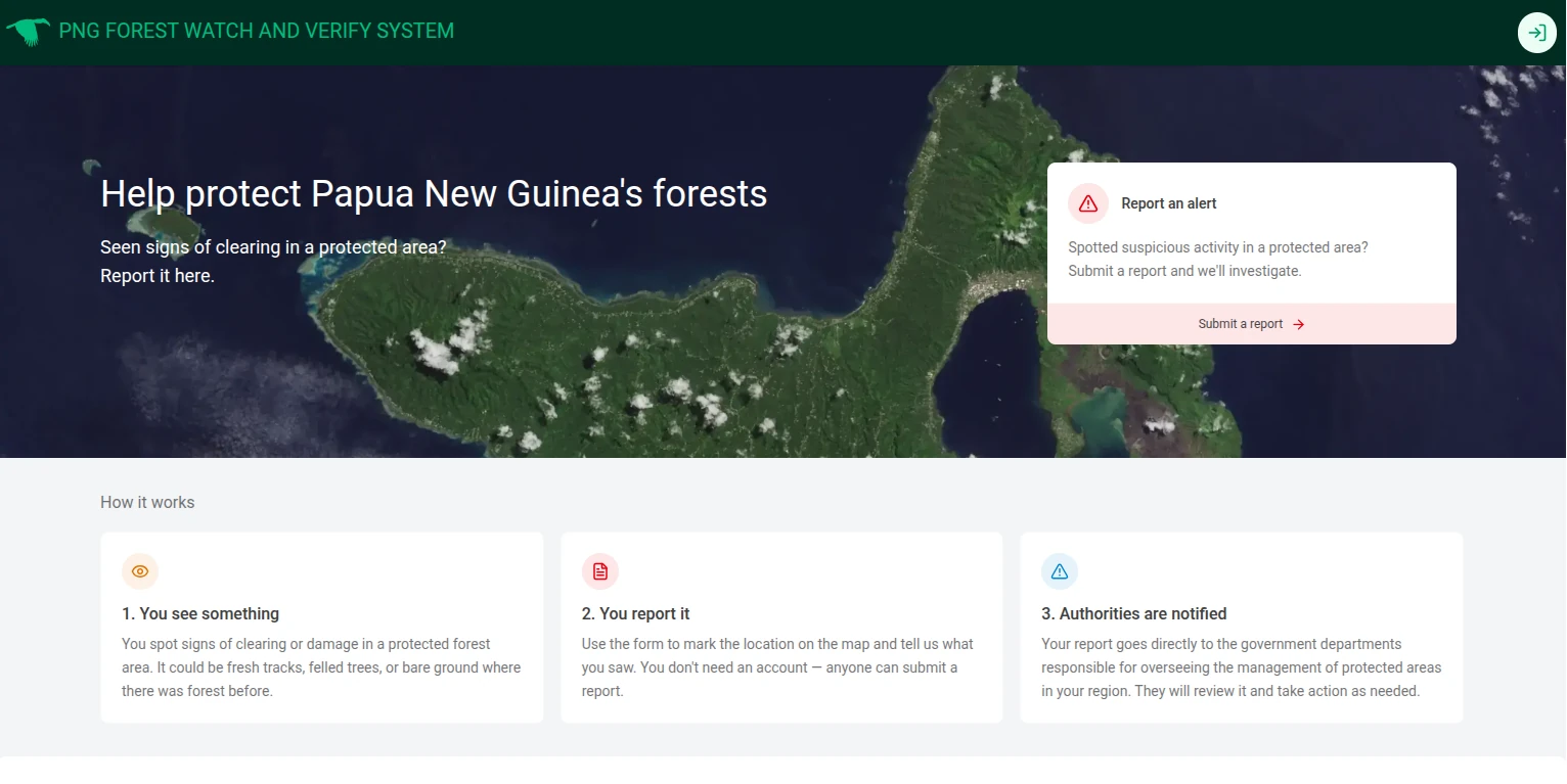
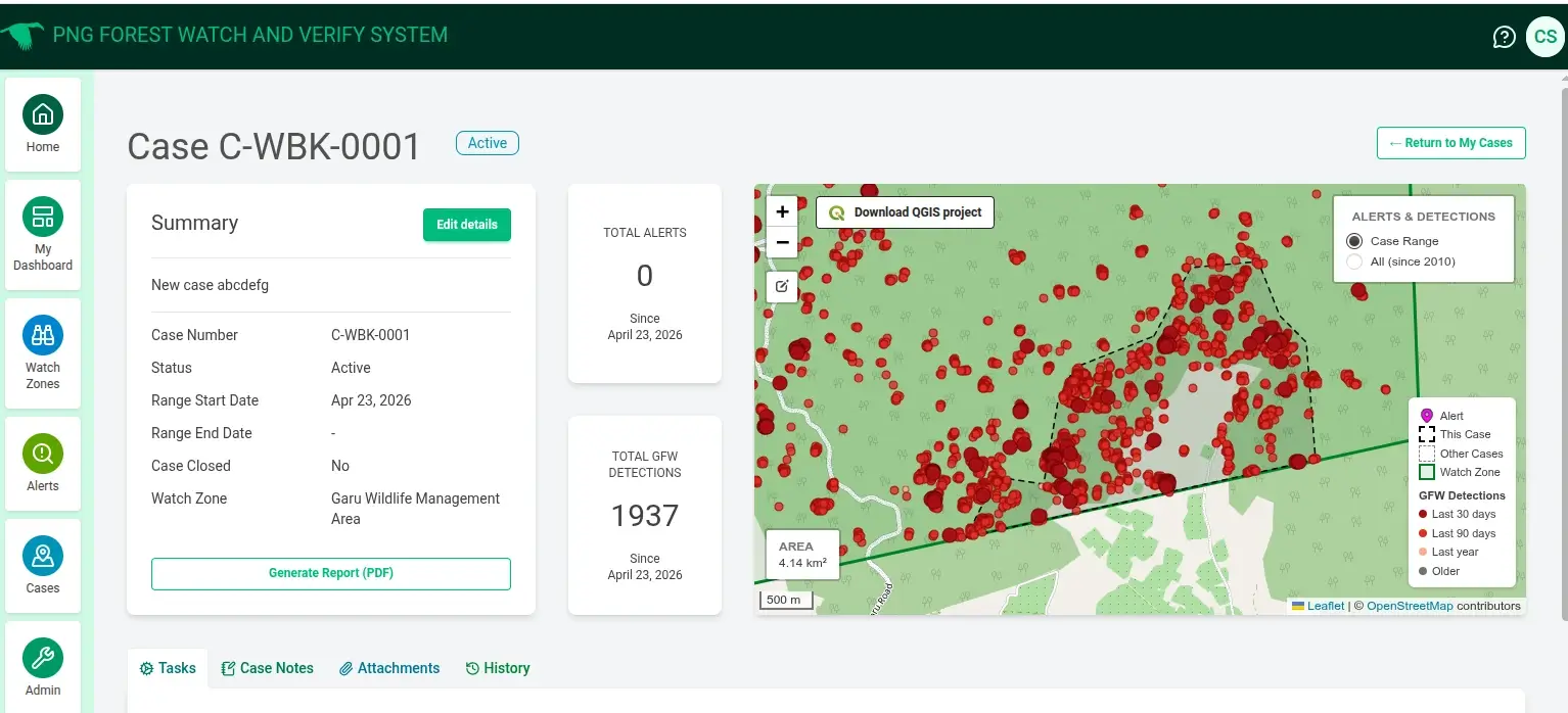
The system brings together satellite-based monitoring, spatial analysis, case management and field verification into a connected workflow. Forest disturbance alerts can be identified, investigated and tracked through to verification in the field.
Bringing the pieces together
The system combines a Django-based case management platform with QGIS for spatial analysis, satellite imagery and forest disturbance alerts, and drone mapping for on-the-ground verification.
Connecting these tools created a workflow that takes a potential forest disturbance from an initial alert through investigation, field verification and reporting.
Building local capability
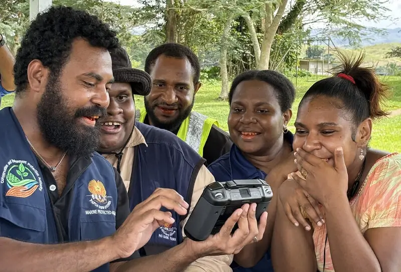
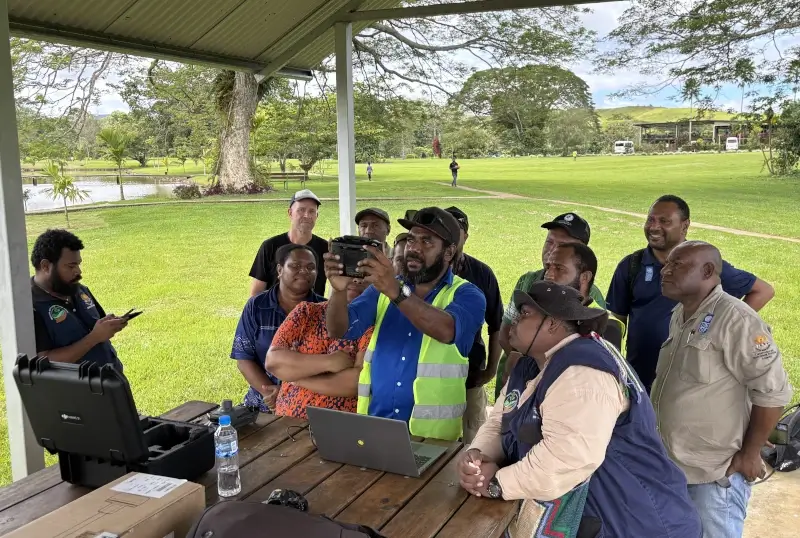
Capacity building was a central part of Mammoth's work. Workshops in Kimbe, Kokopo and Port Moresby gave participants practical experience using the system, working with forest monitoring workflows and geospatial data, and collecting and managing field data with drones.
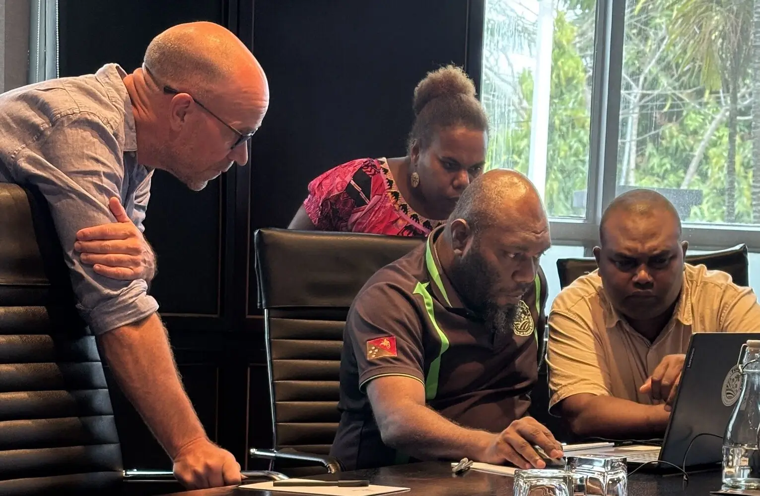
Further training supported the rollout with national and provincial government agencies across New Britain Island.
Mammoth also worked alongside local drone mapping specialists DroneTree Mapping and Solutions, bringing together geospatial, drone and local expertise.
The system is now running as part of PNG's forest monitoring work, with Mammoth's project engagement completed.