Supporting Mine Rehabilitation with QGIS and QField
Rio Tinto
Rio Tinto engaged Mammoth to deliver QGIS and QField training for its staff, Gelganyem Land Management, and other Traditional Owner businesses involved in the Argyle Diamond Closure Project.
- QGIS
- QField
Building skills for the long term
Production at the Argyle Diamond Mine ceased in 2020, and the site is nearing completion of its closure process.
But for Traditional Owners, decades of rehabilitation, monitoring and maintenance lie ahead as land management transitions back into their hands. It's also an opportunity for Traditional Owner businesses, like Gelganyem Land Management, to develop the expertise needed to support this work for generations to come.
Rio Tinto is supporting this transition by investing in training and development for Traditional Owner businesses.
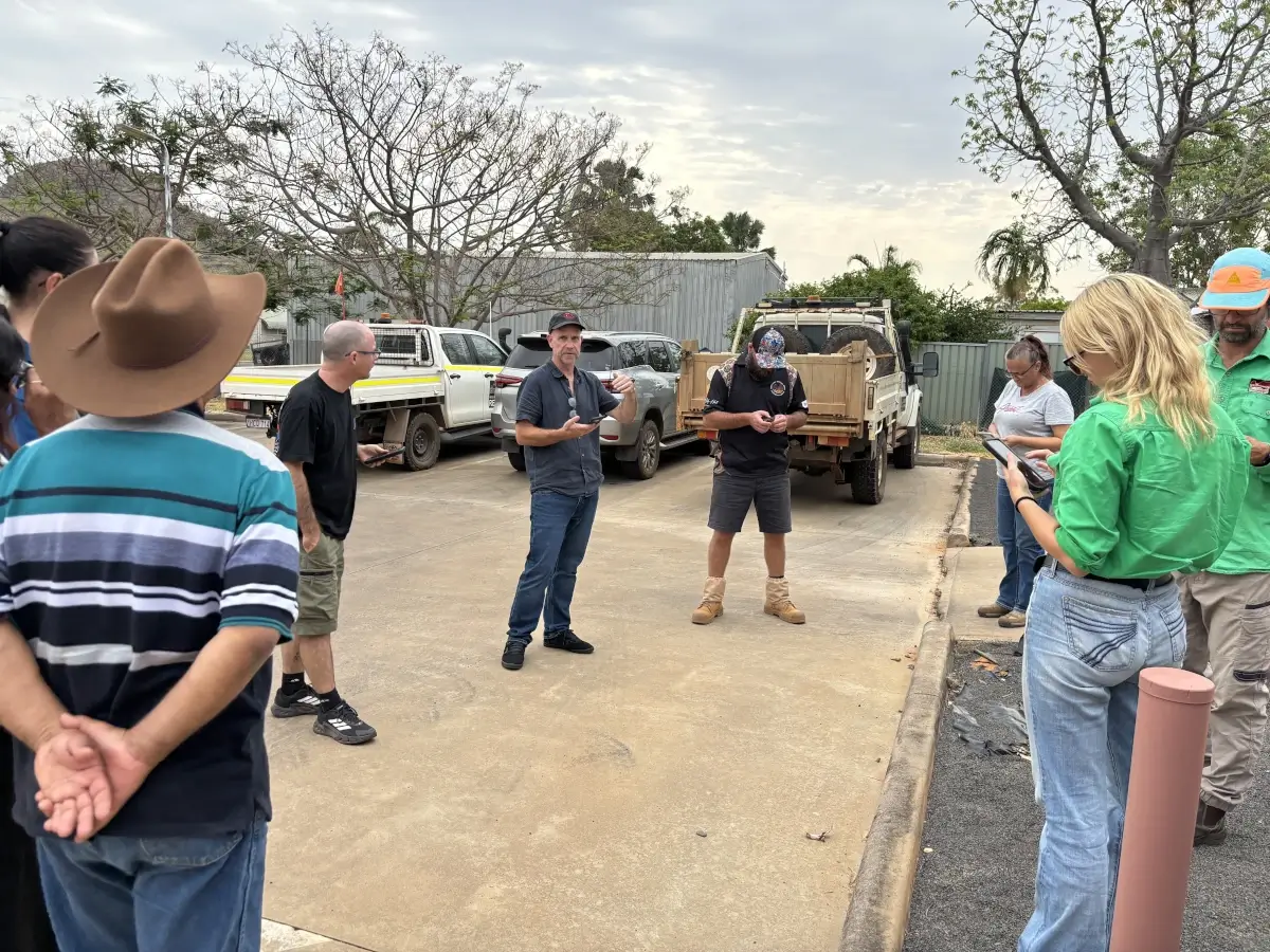
Practical GIS training in the Kimberley
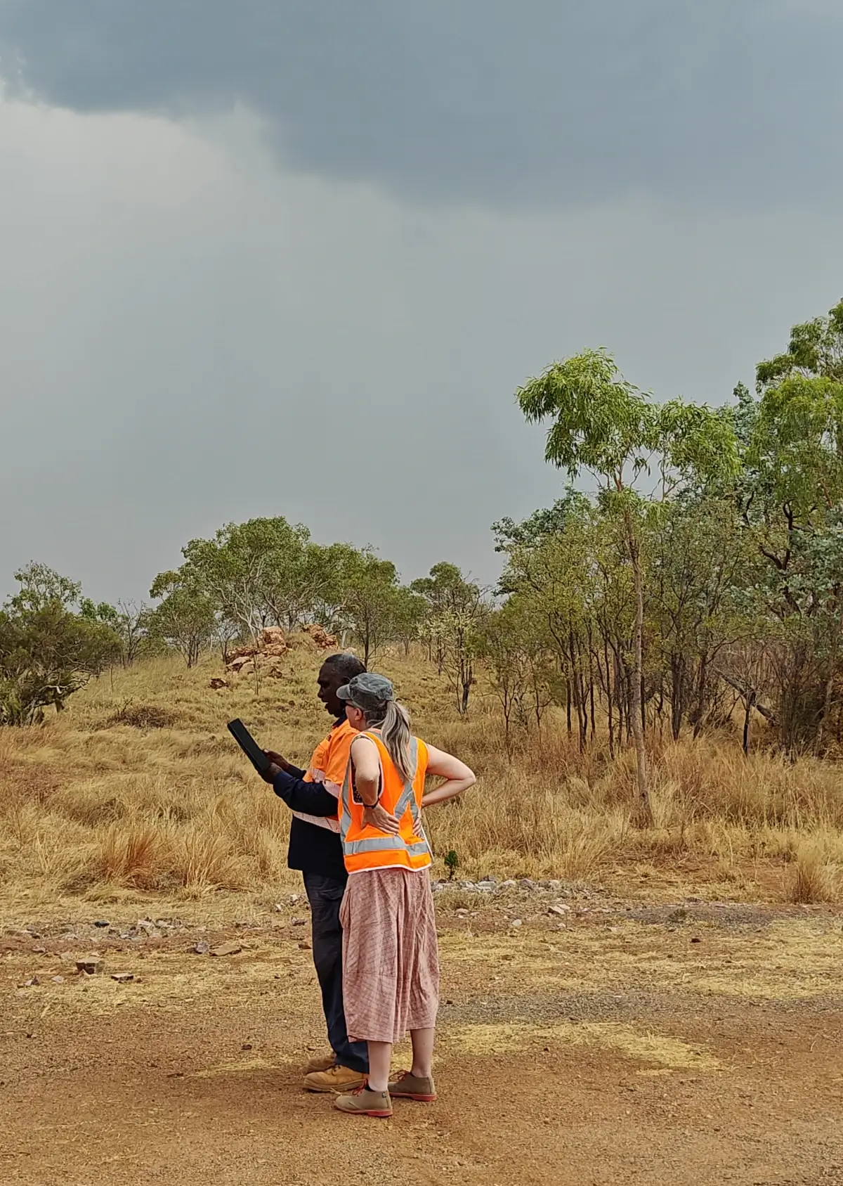
The Mammoth team travelled to the Kimberley to deliver two hands-on training sessions: one in Kununurra, and another on site at the Argyle Diamond Mine. Participants included Gelganyem Land Management, Rio Tinto staff, and other Traditional Owner businesses involved in the Argyle Diamond Closure Project.
Using practical examples, like weed mapping, we introduced participants to workflows using QGIS, QField and QFieldCloud to collect, manage and make better use of land management information.
It's great to see Traditional Owner businesses building their skills and putting open source tools to work. Helping more people discover what's possible with these tools, and supporting them to use them in their work, is something we love doing at Mammoth.