QGIS Training at the Indigenous Mapping Workshop
Winyama
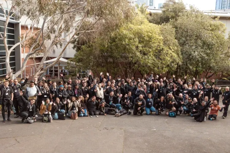
Indigenous Mapping Workshop Australia (IMW) brings Aboriginal people from across Australia together to learn mapping skills and share how they use technology to care for Country.
Mammoth was invited to collaborate with Winyama on the QGIS training stream at IMW in Naarm/Melbourne in 2023 and Meanjin/Brisbane in 2025.
- QGIS
By connecting the technical aspects of QGIS to real-world scenarios familiar to someone working on country as an Aboriginal Ranger, we aimed to deliver an engaging program with relevant learning outcomes.
Discovering what QGIS can do
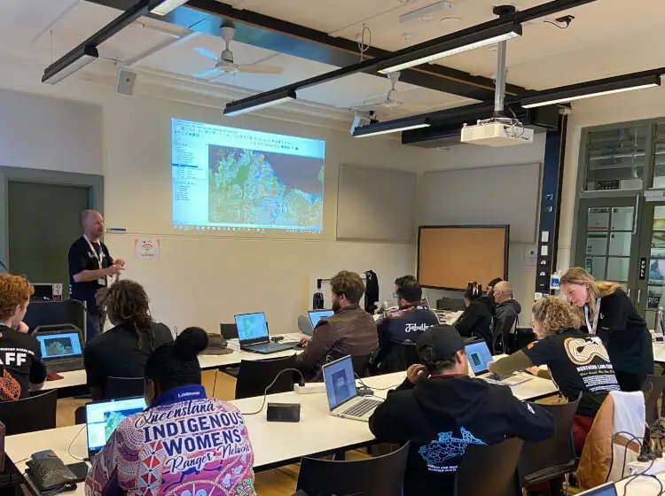
Rather than teaching QGIS in isolation, the training was built around a hypothetical Aboriginal fire management program. This gave participants a familiar context for learning the fundamentals of GIS, from managing spatial data and making maps through to preparing information for fieldwork.
The approach was simple: start with the work people actually care about, and use QGIS as the tool for doing it.
That became clear from the beginning of each session. Participants talked about how they already used mapping, or wanted to use it, to care for Country and support their communities. Those conversations shaped the training and brought a strong sense of purpose to the technical work.
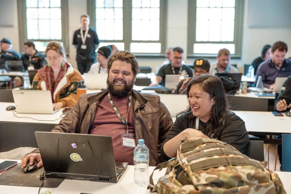
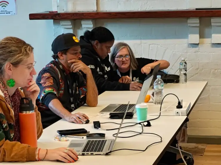
Over two days, participants worked through practical QGIS workflows and built their confidence using the software to manage data, create maps and prepare information for fieldwork.
Mapping skills that can be put to work
The training was part of Winyama's broader digital skills program, which supports Aboriginal and Torres Strait Islander communities through online learning and regional and national training events.
For Mammoth, it was an opportunity to bring our QGIS experience into a setting where mapping has a direct connection to Country, community and on-the-ground work.