Open Mapping Tech Training
Humanitarian OpenStreetMap Team
We delivered two QGIS training sessions as part of an advanced open mapping training series for the Humanitarian OpenStreetMap Team (HOT).
- QGIS
HOT is an international team dedicated to humanitarian action and community development through open mapping. To support them in their work, John delivered two online training sessions to 150 participants from across the Asia Pacific region, focusing on real-life scenarios relevant to the participants.
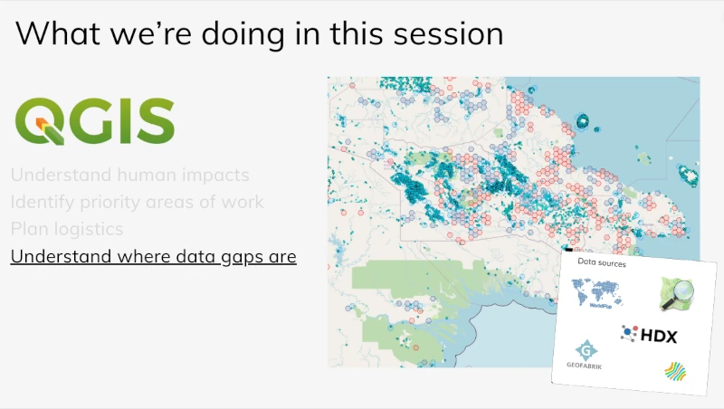
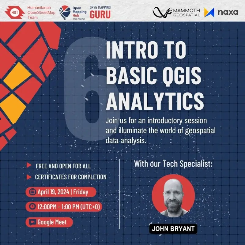
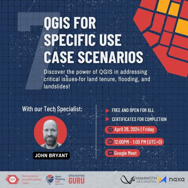
The "Intro to Basic QGIS Analytics" session centred on understanding data gaps in the context of using GIS for humanitarian work. We introduced participants to open data sources and how they can be used to identify OpenStreetMap building and road data gaps through spatial analysis. Our "QGIS for Specific Use Case Scenarios" focused on terrain-based flood susceptibility analysis, introducing participants to more complex spatial data analysis in QGIS.
If you'd like to watch these sessions, recorded videos can be found at the links below:
